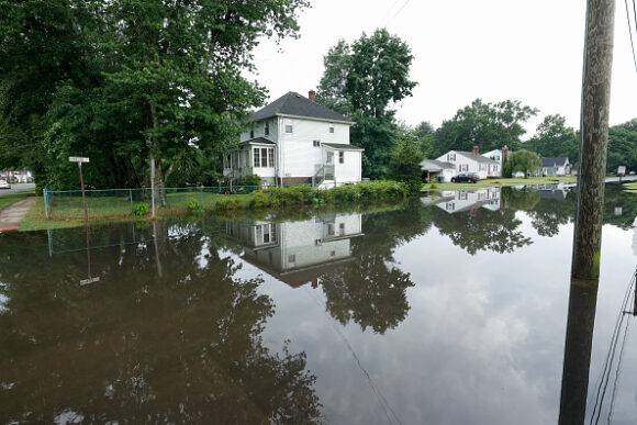
Connecticut is taking an unusual step to confront a growing national problem: flood maps that lag reality. The state has launched a public climate-risk mapping tool where residents can see the estimated flood exposure of their property — along with …